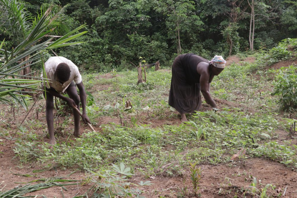
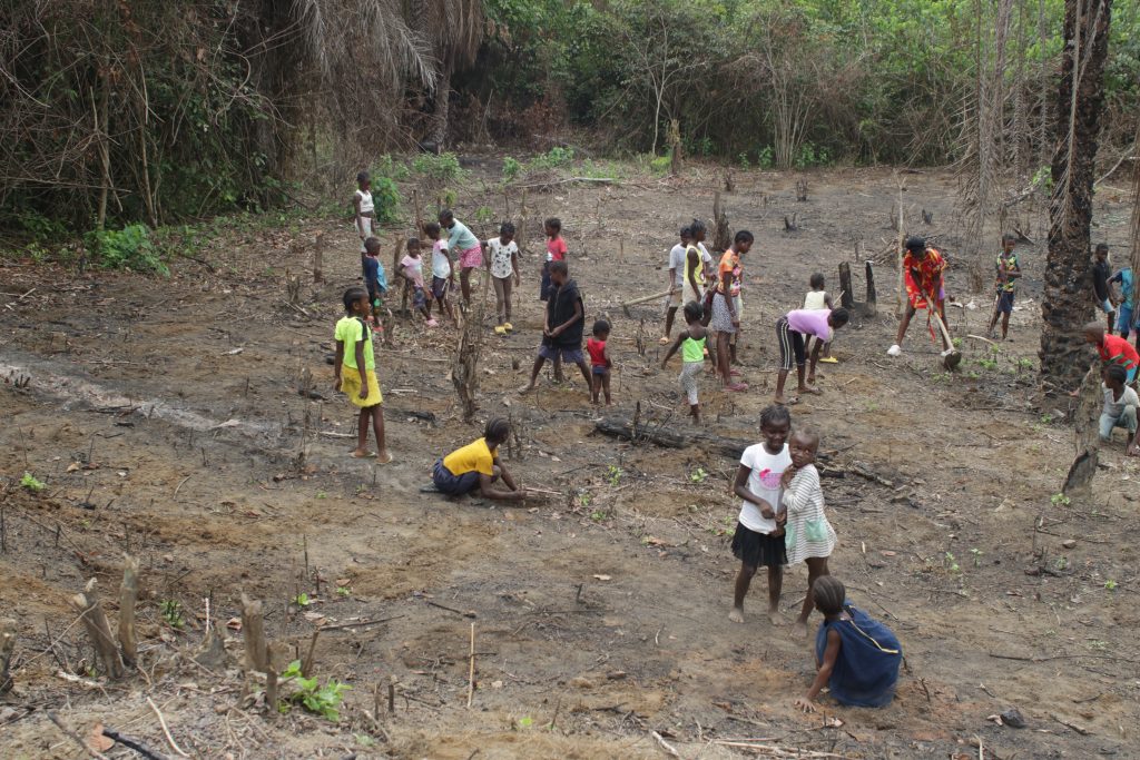
Top: Women farm rice in a swamp in Gbarmue Town, Jorpolu Clan in Bong County. The DayLight/Harry Browne
By Esau J. Farr and Harry Browne
JORPOLU CLAN, Bong County – In 2018, Liberia passed the Land Rights Act. The historic legislation grants communities and women customary ownership of ancestral land, putting an end to decades of deprivation.
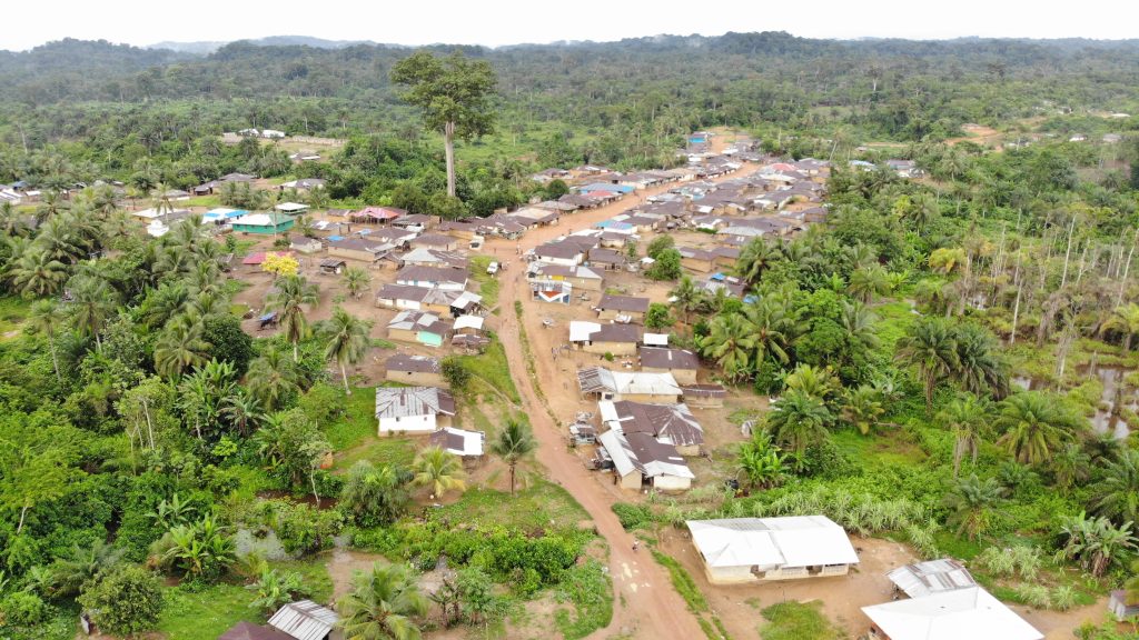
About seven years on, men who use age-old traditional beliefs still deny their female relatives access to land. The DayLight interviewed half a dozen women in the Bong County clan of Jorpolu in the Zota-Panta District with heart-wrenching experiences.
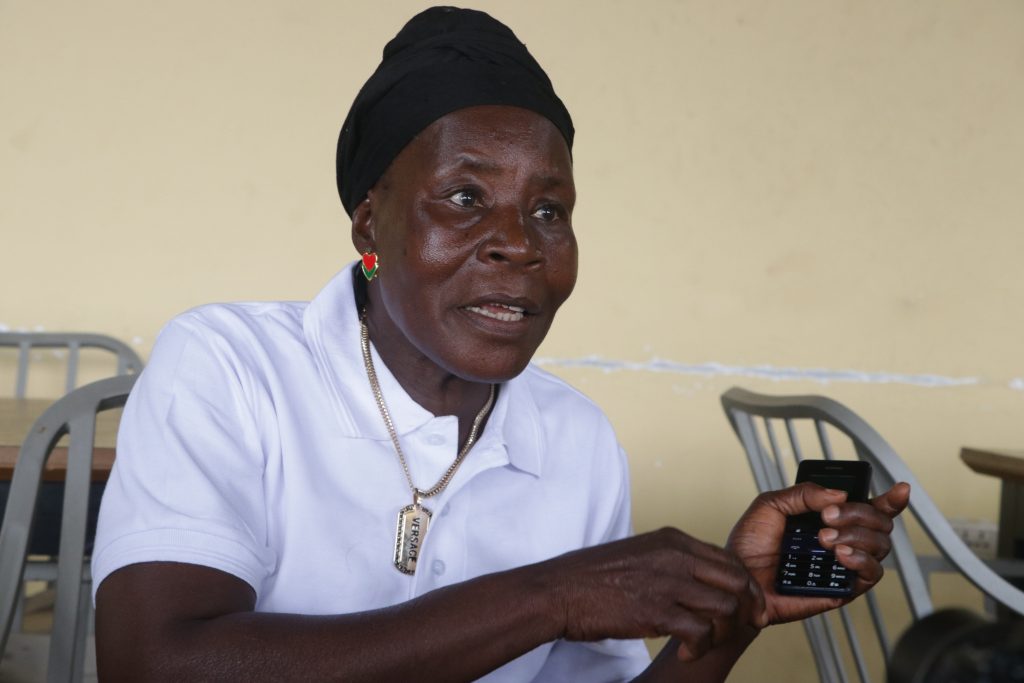
“It is difficult for many women, including me, to engage family members about the farmland issue. This place is interior and people can sometimes use tradition to get rid of you,” says Rebecca Gbartawee, a Worta resident.
“As a woman, if you continue, something may happen to you, or they will think that you want to use traditional means to get the land from them.”
Gbartawee was born in Worta, a town in the Jorpolu Clan, where she happily lived with her parents. Her family farmed rice and other crops on a huge plot year in and year out. However, after her father died, her uncles deprived her mother of farming on the land.
Gbartawee fled to Gbarmue, her mother’s hometown, about a 30-minute walk from Worta. There, Gbartawee’s hopes for a better life were immediately shattered. There and again, they were denied access to a plot owned by her maternal family. Her uncles refused to share the farmland with women.
With no access to her ancestral farmland, Gbartawee struggles to support her children. She had lost her husband, the breadwinner, back in Warta. Her late husband’s family took over their business and everything that they had worked for over the years.
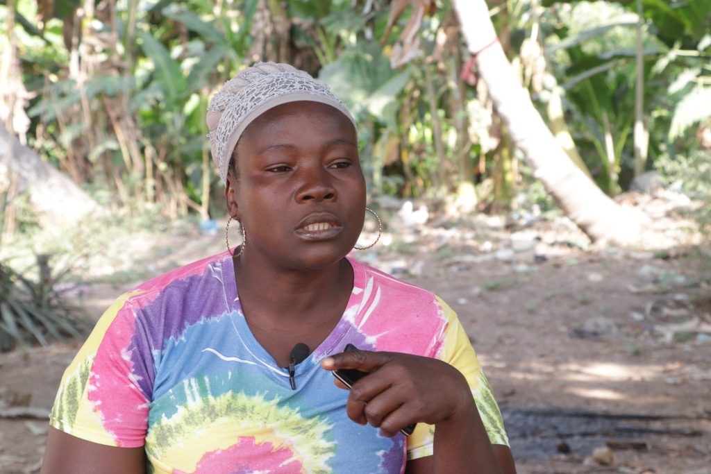
“To get food for my children, I have to struggle. At times, I beg people to give me a piece of farmland to make a farm and feed my children. Their father is no more,” Gbartawee said. “This is very difficult for me to support my children.”
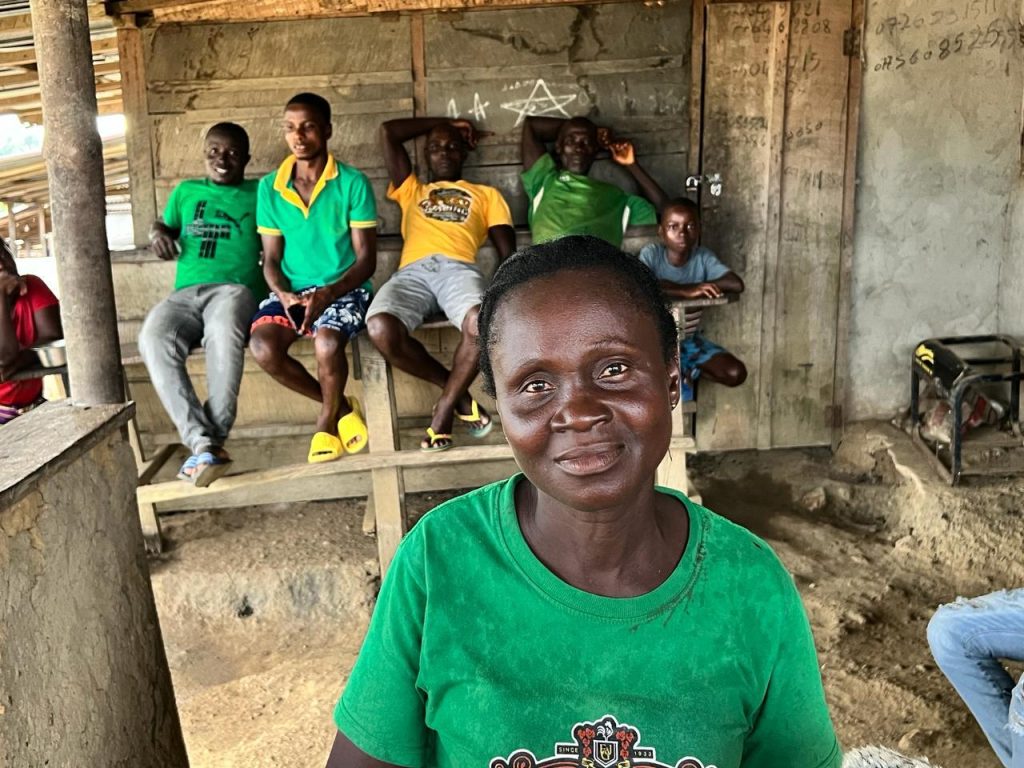
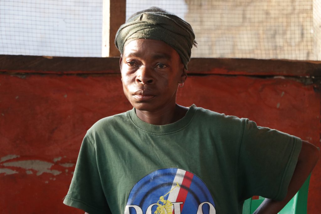
Like Gbartawee, Quita and her sister Kebbeh Leayne have an issue with their elderly brother, Paul Leayne. Their parents died decades ago, leaving behind the rubber farm north of Gbarmue. However, Paul does not share proceeds from the farm with his siblings, according to Quita and Kebbeh.
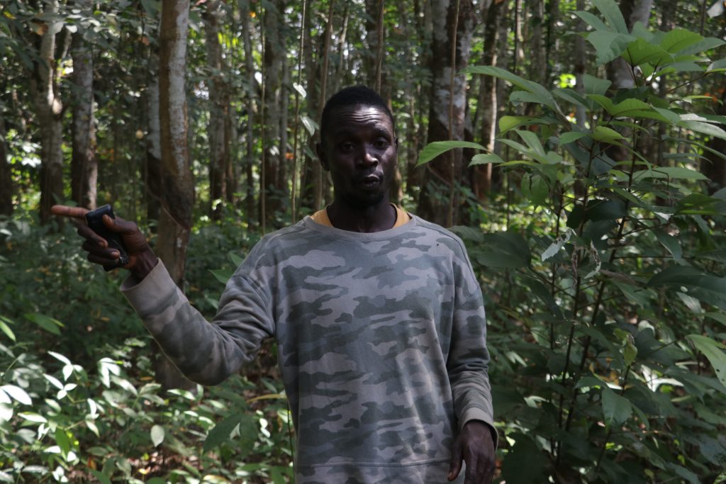
It is a small farm with about 500 rubber trees, accessible only on foot. We travel through two other larger rubber farms on a motorbike, and at a point, we get off the bike and walk to reach it.
“We have long discussed this one thing and my brother can’t listen to anyone. When he taps the rubber, he sells it and doesn’t give us any of the money,” says Quita at a local entertainment center.
“I want my share of the rubber farm so I can feed my children and me,” adds Quita.
We catch up with Paul at his house, near a lush green cocoa bush. At first, he declines, but now he grants us an interview, denying Quita’s story. He says he gives Quita some of the money he generates from the farm.
“The last time I gave her money was in 2023. Since then, I have not been active with tapping because I am making a rice farm,” Paul tells us.
Kebbeh, the youngest of the three Leaynes, refutes those claims, corroborating Quita’s assertion. “He has put us out of the house that our parents built. He said he is the only child of our parents,” Kebbeh tells reporters. She and her elder sister urge the government to pay more attention to women’s rights.
The experience of Mamie Dolo, also a Gbarmue resident, is similar to that Leayne. Dolo and her mother were compelled to settle in Gbarmue, Dolo’s husband’s hometown, after her father’s death.
Dolo’s father, who had encouraged her to farm on a portion of the land that he and his brother shared, had fallen ill and gone to Monrovia for treatment. Unfortunately, he passed away. After his death, her uncles had demanded she pay them a fee, which she refused.
Dolo’s nightmare continued even after one of her uncles died and the other left the town. Her cousins also demanded an annual fee to farm on their land. However, after two years of payment, Dolo pulled out of the arrangement and turned to selling cooked bowls.
Enforcement
Denying women their rights to landownership with ill-fated customs and traditions was the very thing the Land Rights Act was created to prevent. Before the law, women were not allowed to publicly discuss land matters in rural communities, let alone to own it.
Asa Chon, the country manager of ForumCiv, a Gbarnga-based NGO working with five communities, urges rural women to take courage amid cultural obstacles.
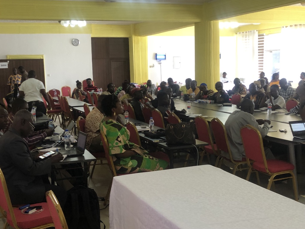
“We know that there are some discriminatory norms. There are still pockets of resistance,” says Chon in an interview at last year’s National Land Conference in Ganta, Nimba County. “Change is not an event. Change is a process.
“But things are not as common as they were in the past. There is growing awareness,” adds Chon.
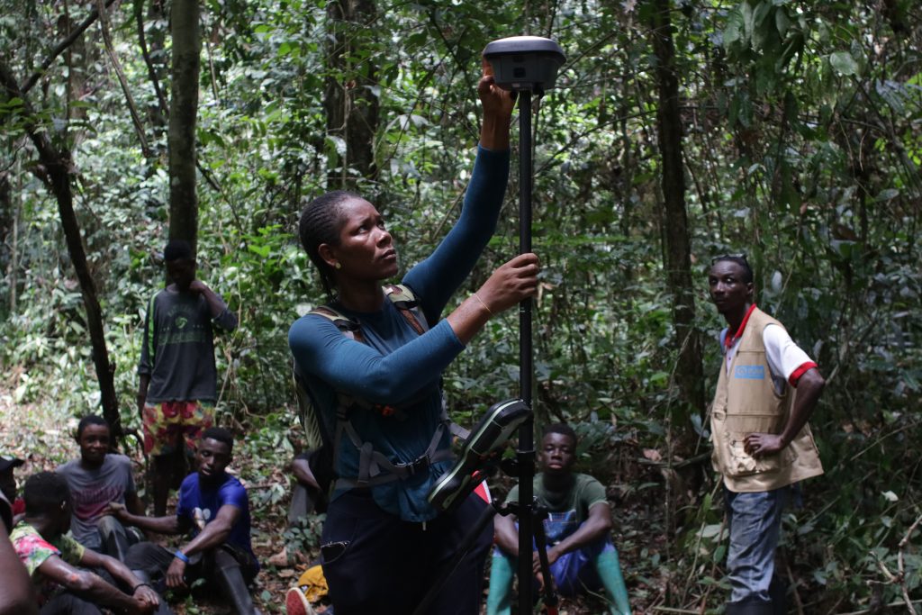
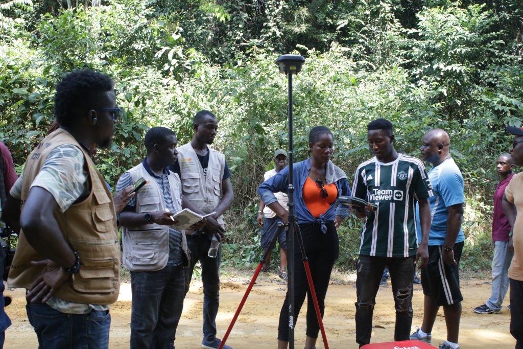
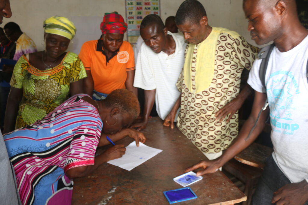
There has been some success, as Chons says. Jorpolu—the clan Worta, Gbarmue, Wiansue and Banama are located—is pursuing a customary land deed. Parley Liberia, another Gbarnga-based NGO, assists locals through legal steps to achieve their goal. As part of that, townswomen, including Gbartawee, attend awareness meetings. Others listen to radio programs on the subject.
Some women are already putting their knowledge to work. Last year, Zinnah Mulbah, a woman in her 50s in Wiansue, a 25-minute motorcycle ride from Gbarmue, won a legal battle.
Mulbah filed a lawsuit against James Kollie, her fiancé, at the Gbarlatuah Magisterial Court. Mulbah was awarded half of all the properties they acquired in their three-decade relationship.
Court documents show she received one house, a motorcycle, household utensils, and 50 pieces of planks. The court awarded her US$1,020 as her share of a plot of land and a car. She got another L$37,800 (US$190), her share of concrete bricks. Additionally, the court awarded her 20 percent of the proceeds from the rubber farm in the June 5, 2024 ruling.