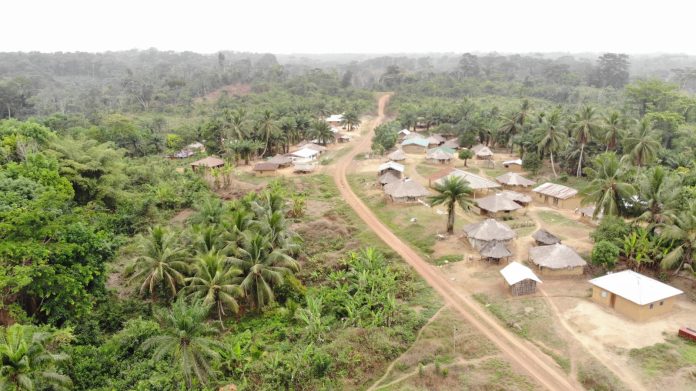
Top: An elevated view of a portion of Teekpeh Clan’s 65,224.61 hectares of land. The DayLight/Derick Snyder
By Harry N. Browne
TEEKPEH – Liberia Land Authority has conducted surveys in four clans in River Cess County, the last stage for the communities to get customary land deeds.
The Land Authority conducted the surveys recently for Teekpeh, Ziadue, Dorbor and Gbarsaw, bringing to an end four years of quest for their ancestral land rights.
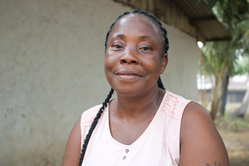
“I feel so glad because, for the time Liberia existed, we were [squatters]. For us to be the legitimate owners of our land, we really appreciate that,” said Fredrick James, the chairman of Teekpeh’s Community Land Development and Management Committee.
“If you do not have a deed for [your land] in Liberia, then … the land is not for you,” said Blessing Nagba, Town Chief of Zammie Town, one of Teekpeh’s largest communities.
Before the official survey, Teekpeh, Ziadue, Dorbor and Gbarsaw declared their intention to get title deeds for their lands. Later, they formed land governing bodies and conducted open mapping of their areas, requirements in the Land Rights Act of 2018 for a customary land deed.
The confirmatory surveys were conducted in a peaceful and orderly manner with all of the parties represented. Representatives of the four clans, the Liberia Land Authority, and civil society gathered at the various boundary points to witness the process.
Before that, the surveyors asked the representatives to walk them to the actual spot that all parties agreed to. Then they took points from each location and planted trees at those points. There are 39 border points among the four clans.
Representatives for the clans posed for a picture at each boundary point for evidence, using special equipment that processes and stores data on a memory card and to a satellite. The pictures will remain there as long as the satellite is in space.
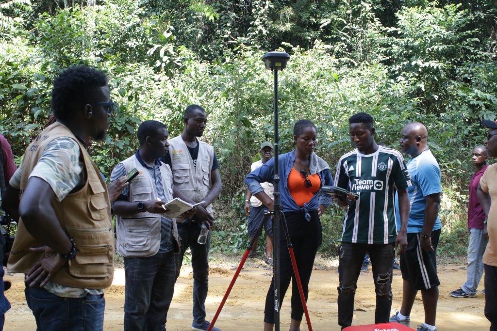
The advanced GPS equipment works directly with the satellite for accuracy. It had been recommended as part of a US$3.45 million project to assist communities get their customary deeds, funded by the International Land and Forest Tenure Facility of Sweden.
Before the survey, the Land Authority conducted a two-day workshop on how the instrument works for transparency’s sake.
The survey had lots of challenges. The teams traveled hours between clans to cut boundaries in hard-to-reach areas. The Thick, green forest features creeks, valleys, mountains, and wildlife. Townspeople, who knew the route well, helped carry the equipment on their heads under the forest’s shade.
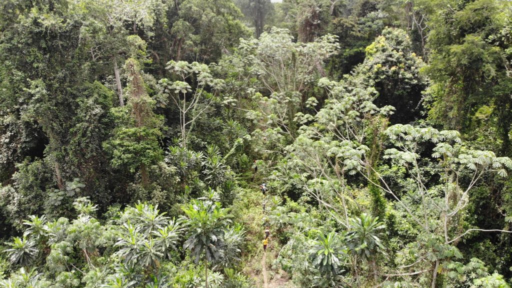
“I am here for land, for us to cut our land boundary between, Ziadue and Teekpeh. [This] is the reason we came in the bush,” said Rebecca Miller, town chief of Zeegar Town in Teekpeh.
The four clans cover a combined 152,937.57 hectares of land. Of that total, Teekpeh is the largest with 65,224.61 hectares, followed by Dorbor with 34,276.06 hectares, Ziadue with 32,718.45 hectares and Gbarsaw with 20,000 hectares.
‘Give and take’
But the clans’ success did not come without challenges. They had to resolve several land crises.
Ziadue and Teekpeh fought for Yarvoe, a village that has a potential for gold, according to a survey by the Ministry of Mines and Energy. Teekpeh claimed the Yarvoe because it holds the clan’s ancestral graveyard. Ziadue’s contention was it (a 45-minute walk) is closer to the village than Teekpeh ( a two-hour-45-minute walk). In the end Teekpeh prevailed following six years of heightening tension.
“All we needed to do was to convince them that land business is give and take,” recalled James. “That was the only way we were able to convince our people and the exercise went on.”
Ziadue and Teekpeh also squared off with Dorbor over a place named Sand Beach Junction for two years. Once more the three clans agreed to turn over the land to Teekpeh following two years of standoff.
Dorbor had another conflict with Gbarsaw over a parcel of farmland across a creek. Dorbor surrendered the land to Gbarsaw
“We protected the communities until we went to all those boundaries. We did give-and-take,” said Tito Davis, the chairman of the Dobor Community Land Development Committee. We felt that we wanted deed so, Dorbor gave most of the land out.”
At times, the Land Authority and civil society were caught up in the conflicts.
Arthur Cassell, the geographic information system (GIS) specialist with the Sustainable Development Institute (SDI), which works with the communities, experienced some of them. In one incident, townsmen, unhappy with a borderline they had drawn, chased Cassell and his team into a bush.
“You know the small creek in the bush have their names and sometimes through oral history. Somebody might miss the name or somebody might miss the location of the creek. That was the hold situation,” Cassell said.
“To see the four of them Ziadue Teekpeh, Dorbor and Gbarsaw get their confirmatory survey in one go, it is a plus for us,” Cassell added.
The Land Authority is expected to grant the four clans their customary deed soon. They make it 11 communities in River Cess and 20 across the country whose lands have been surveyed. Eight communities have already been granted customary deeds, with Fessibu in Lofa the latest.
We are quite assured that in the next few weeks or so their deeds will be prepared,” said Jerome Vanjah Kollie, the National Coordinator for Customary Boundary and Harmonization at the Land Authority. “We have concluded the work.”

